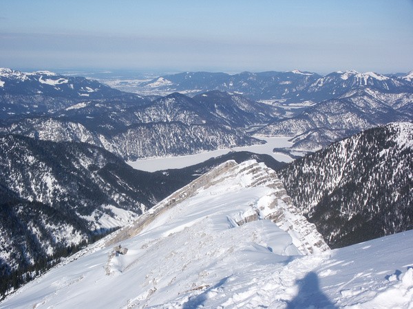
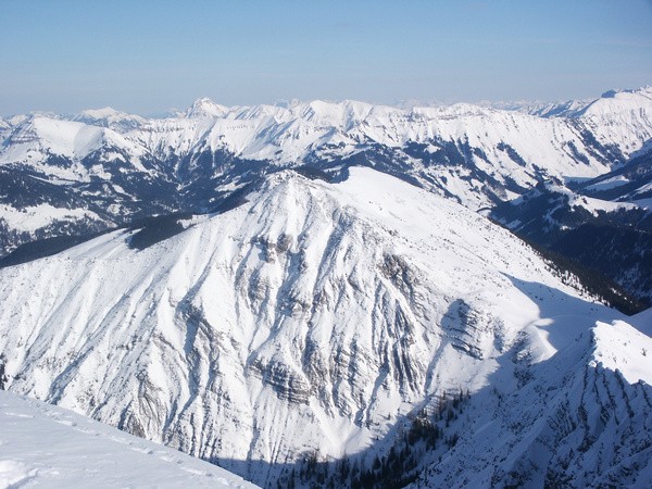
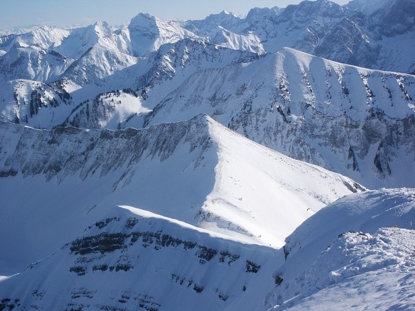
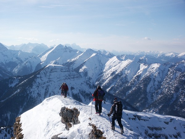
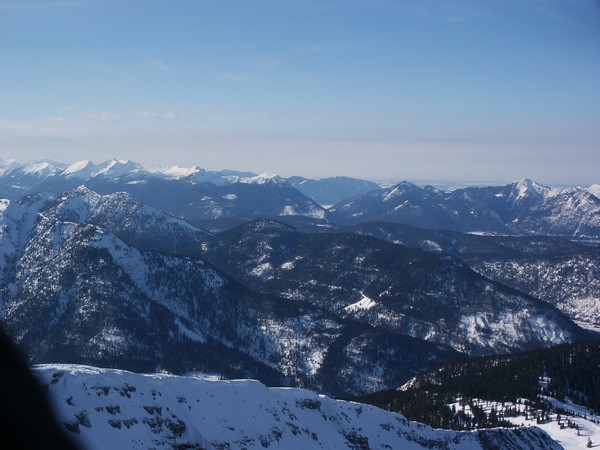
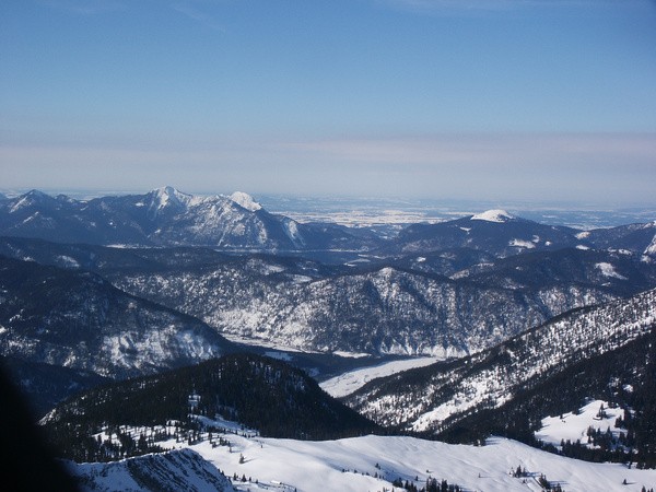
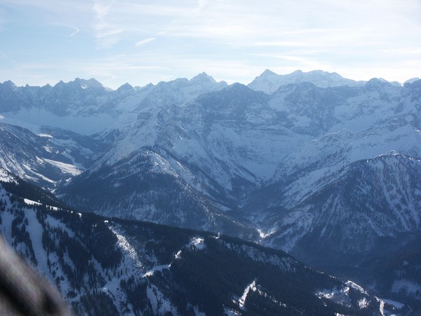
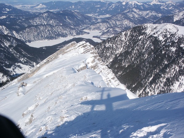
5) Schneeschuhtour 08.02.2005
| Gebiet: | Karwendel |
| Stützpunkte: | Mooslahneralm (1398 m) |
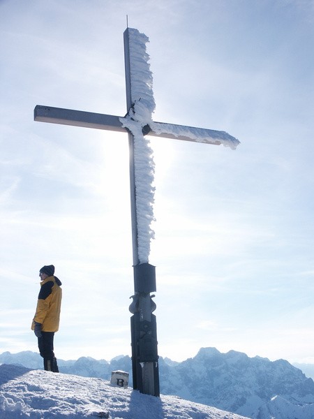
| Gipfel: | Schafreuter (2102 m) |
| Höhendifferenz: | Auf-/Abstieg 1290hm |
| Talort/Ausgangspunkt: | Parkplatz 'Oswaldhütte' im Engtal |
| Aufstieg: | Vom Parkplatz 'Oswaldhütte' im Engtal über die Mooslahneralm |
| Abstieg: | wie Aufstieg |
| Kartenmaterial: | Alpenvereinskarte Nr. BY12: Karwendelgebirge Nord, Schafreiter (1:25000) Kompass Wanderkarte Nr. 26: Karwendelgebirge (1:50000) |
 |
 |
 |
 |
 |
 |
 |
 |
 |