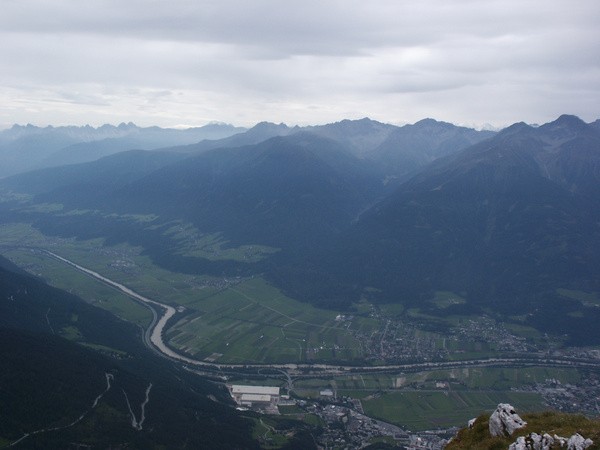
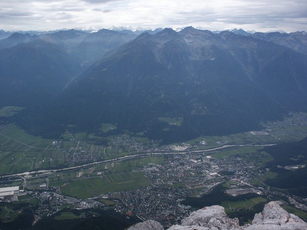
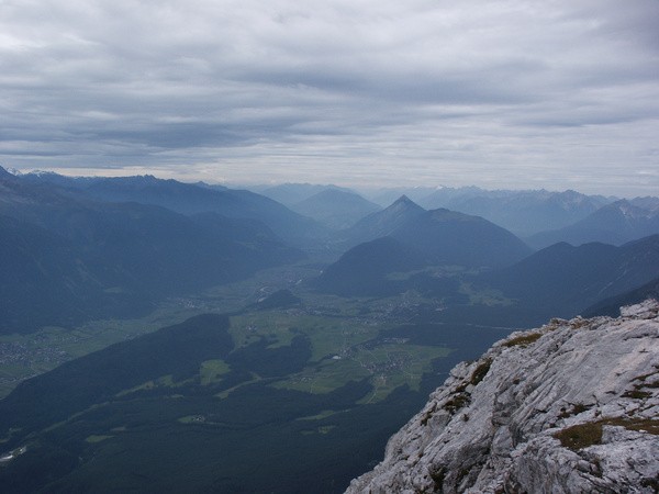
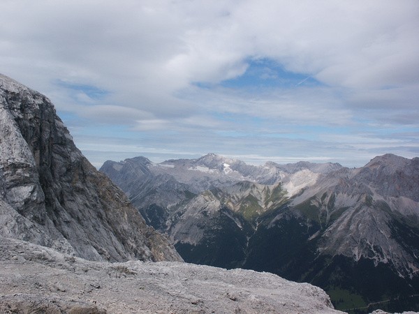
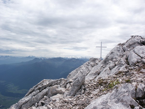
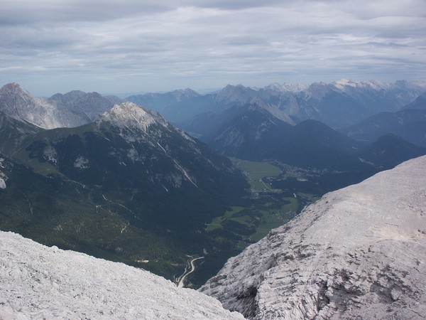
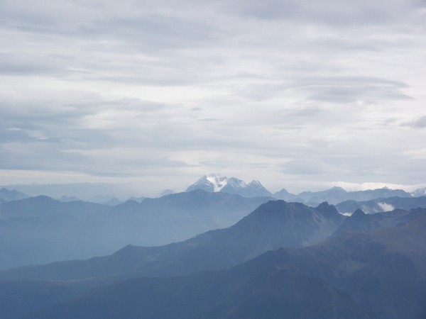
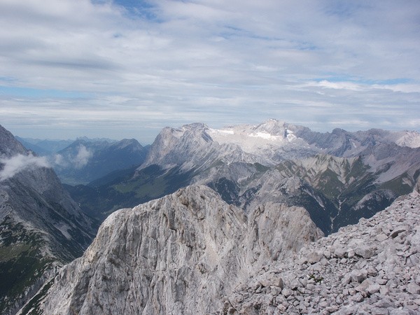
24) Bergtour 25.08.2005
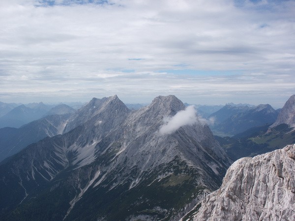
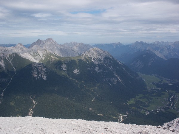
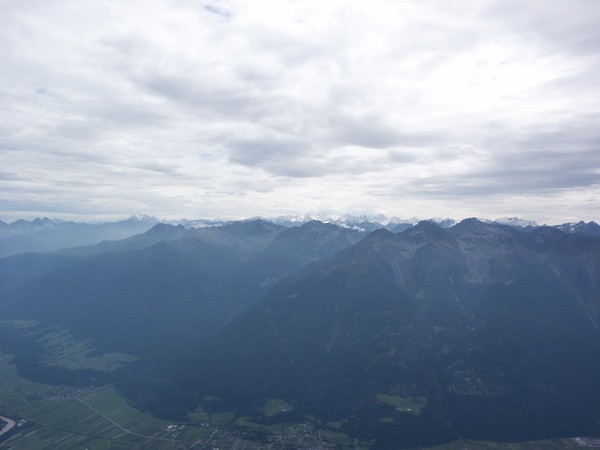
| Gebiet: | Wetterstein (Mieminger) |
| Stützpunkte: | Rauthhütte (1600 m) |
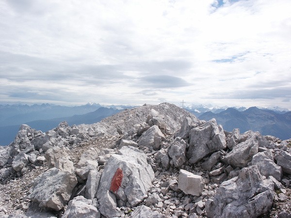
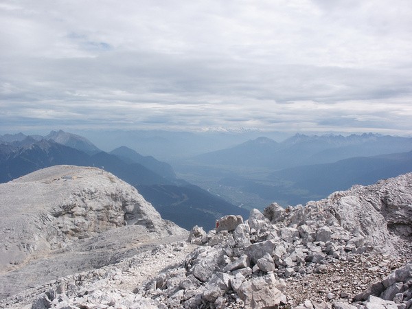
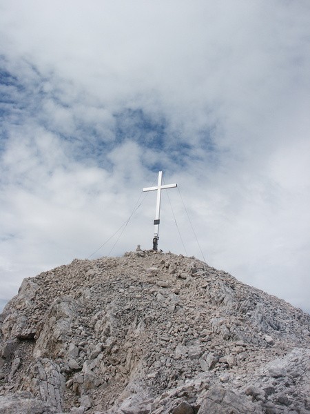
| Gipfel: | Hohe Munde (Ostgipfel) (2592 m), Hohe Munde (Westgipfel) (2662 m) |
| Höhendifferenz: | Auf-/Abstieg 1610hm |
| Talort/Ausgangspunkt: | Parkplatz in Moos/Leutasch |
| Aufstieg: | über Rauthhütte |
| Abstieg: | wie Aufstieg |
| Kartenmaterial: | Alpenvereinskarte Nr. 4/3: Wetterstein- und Mieminger Gebirge (Ost) (1:25000) Bayrisches Landesvermessungsamt UK-L 31: Werdenfelser Land (1:50000) |
 |
 |
 |
 |
 |
 |
 |
 |
 |
 |
 |
 |
 |
 |