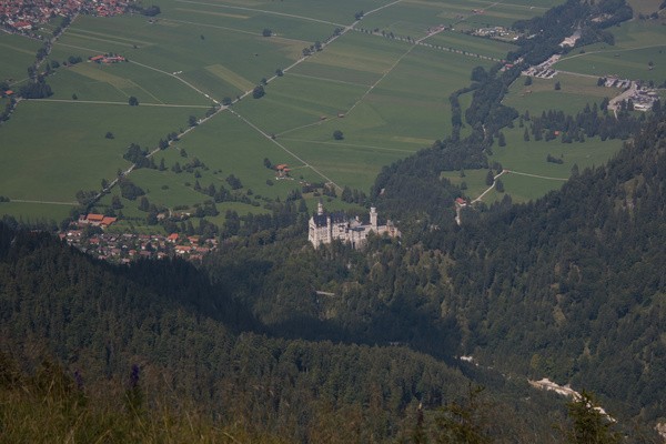
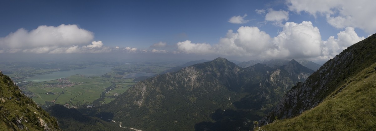
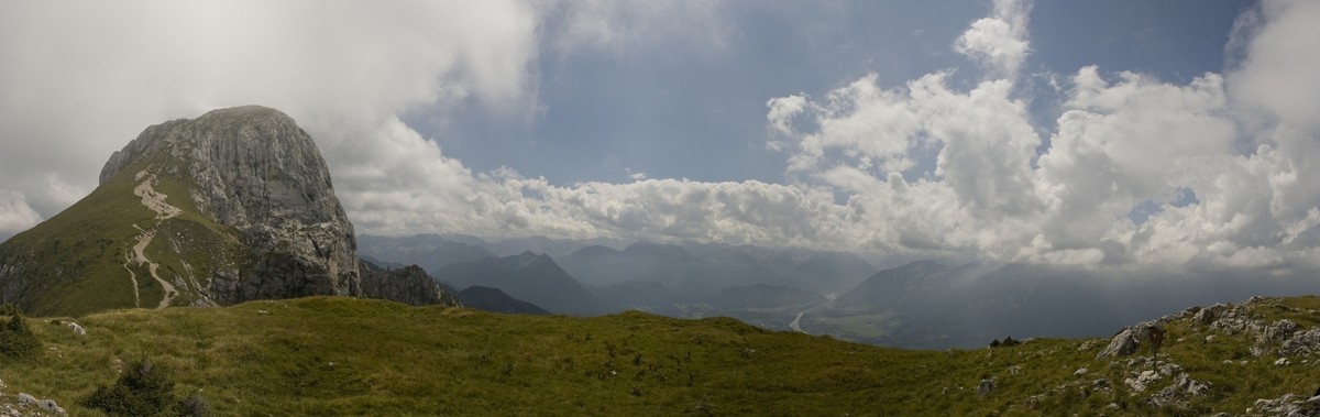
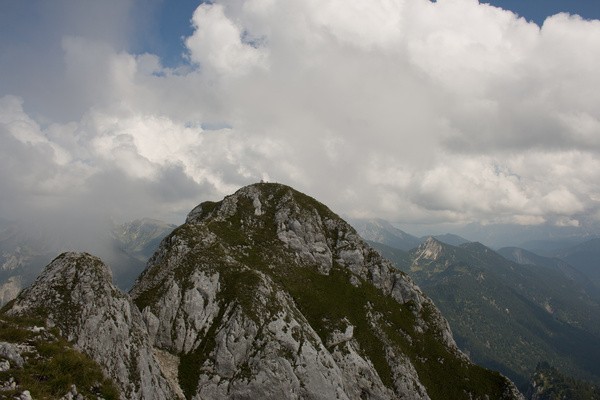
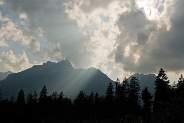
25) Bergtour 12.08.2007
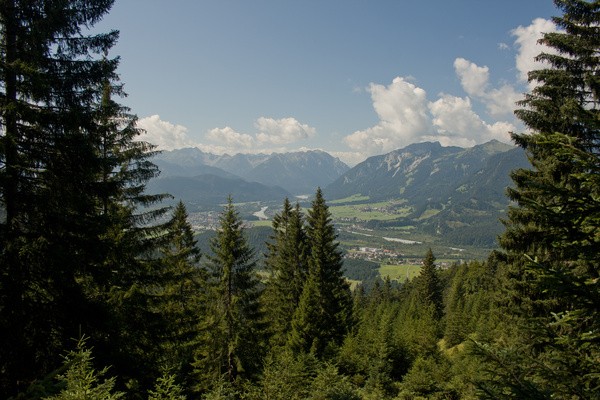
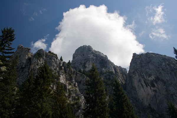
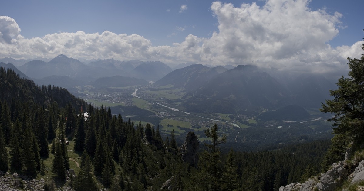
| Gebiet: | Ammergauer Alpen |
| Stützpunkte: | Säulinghaus (1695 m) |
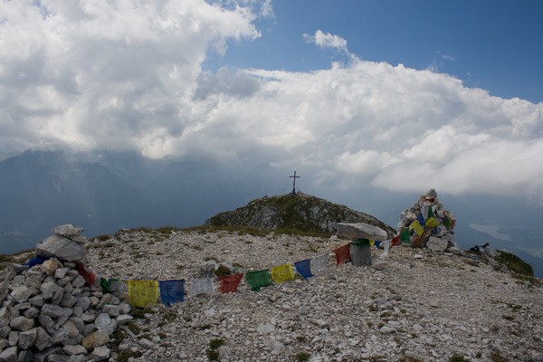
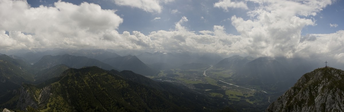
| Gipfel: | Säuling (2047 m) |
| Höhendifferenz: | Auf-/Abstieg 1160hm |
| Talort/Ausgangspunkt: | Pflach bei Reutte |
| Aufstieg: | über das Säulinghaus |
| Abstieg: | wie Aufstieg |
| Kartenmaterial: | Kompass Wanderkarte Nr. 5: Wettersteingebirge (1:50000) Bayrisches Landesvermessungsamt UK-L 31: Werdenfelser Land (1:50000) |
 |
 |
 |
 |
 |
|
 |
|
 |
|
 |
|
 |
 |
 |
|
 |
 |
 |
 |