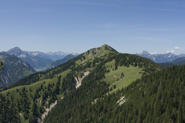
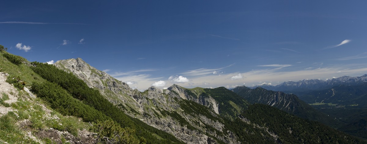
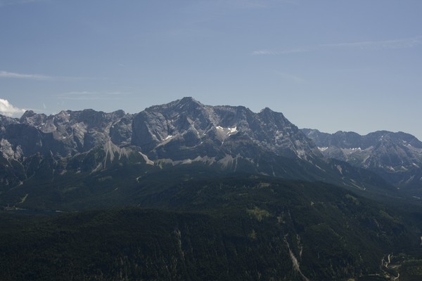
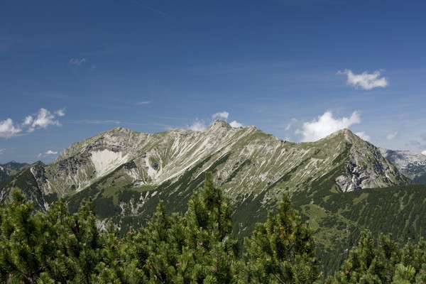
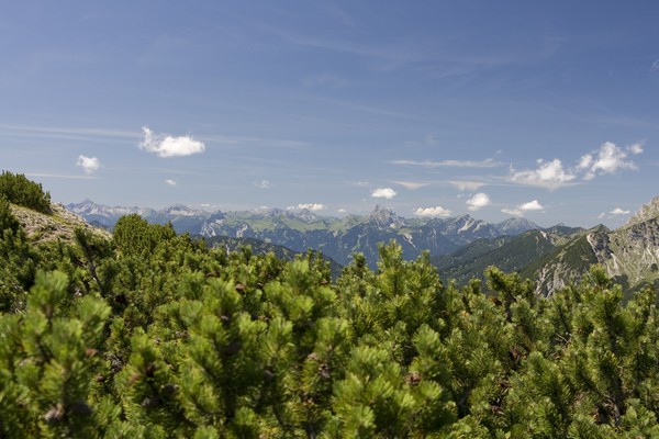
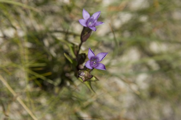
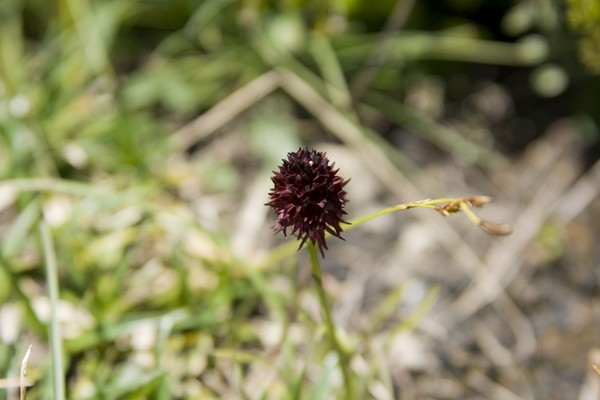
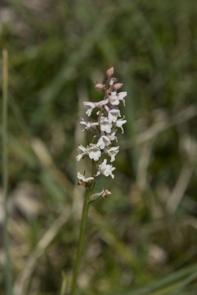
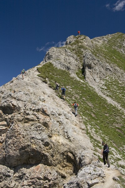
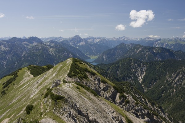
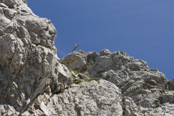
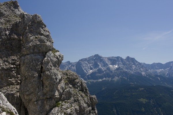
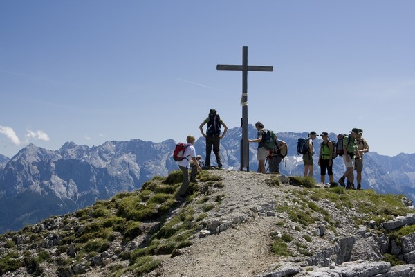
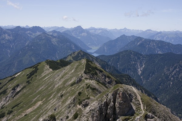
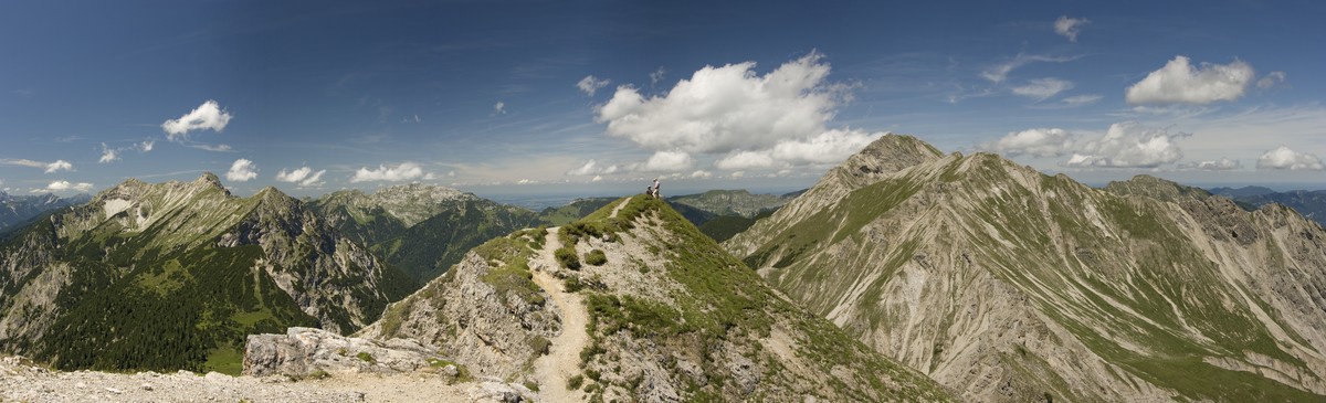
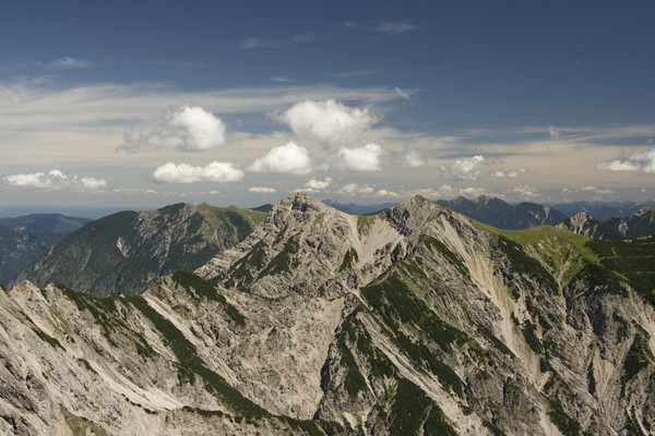
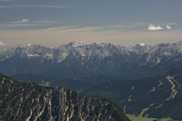
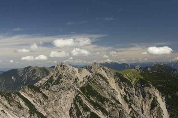
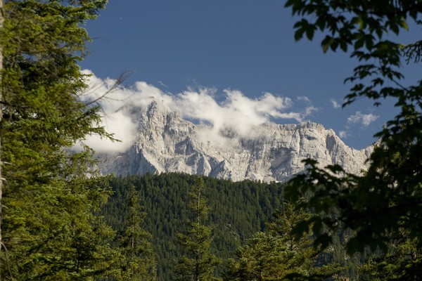
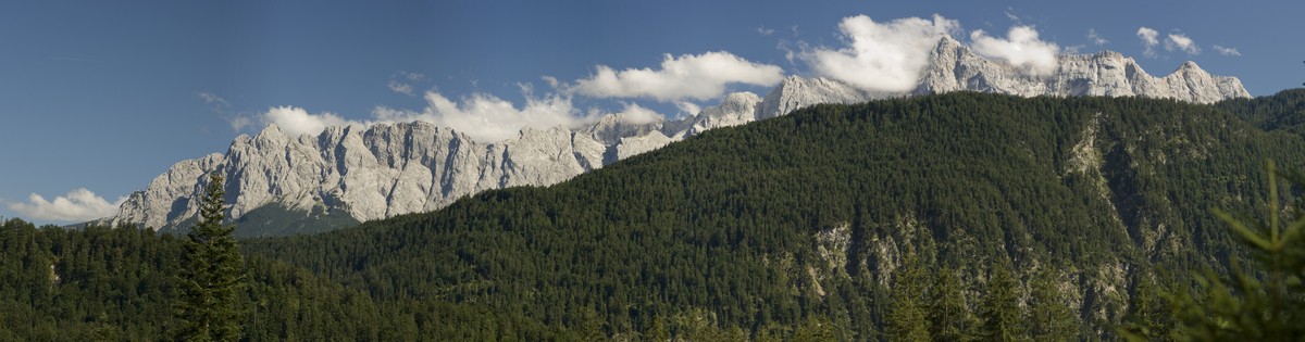
24) Bergtour 26.07.2009
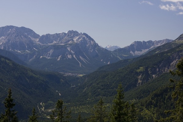
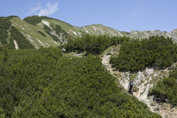
| Gebiet: | Ammergauer Alpen |
| Stützpunkte: | Schellalm (1481 m) |
| Gipfel: | Hoher Brand (1764 m), Brandjoch (1957 m), Schellschlicht (2053 m) |
| Höhendifferenz: | Auf-/Abstieg 1585hm |
| Talort/Ausgangspunkt: | Griesen |
| Aufstieg: | von Griesen auf Weg 251 |
| Abstieg: | auf Weg 252 nach Griesen |
| Kartenmaterial: | Kompass Wanderkarte Nr. 5: Wettersteingebirge (1:50000) Bayrisches Landesvermessungsamt UK-L 31: Werdenfelser Land (1:50000) |
 |
 |
 |
 |
 |
|
 |
|
 |
 |
 |
 |
 |
 |
 |
 |
 |
 |
 |
 |
 |
 |
 |
|
 |
 |
 |
 |
 |
|