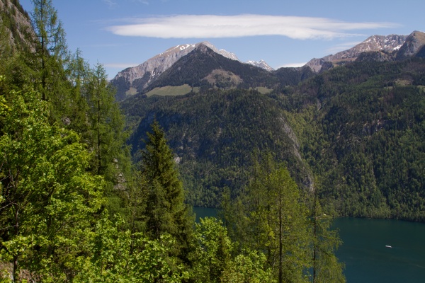
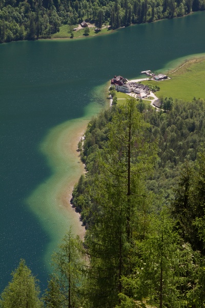
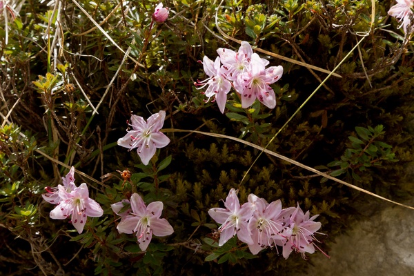
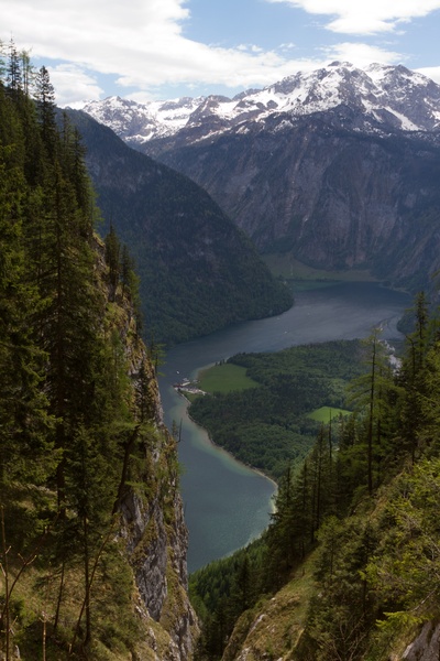
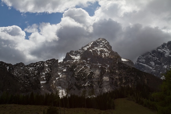
26) Bergtour 08.05.2011
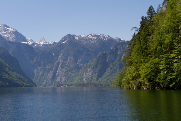
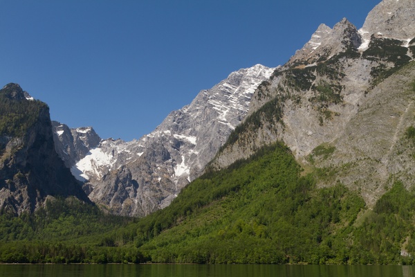
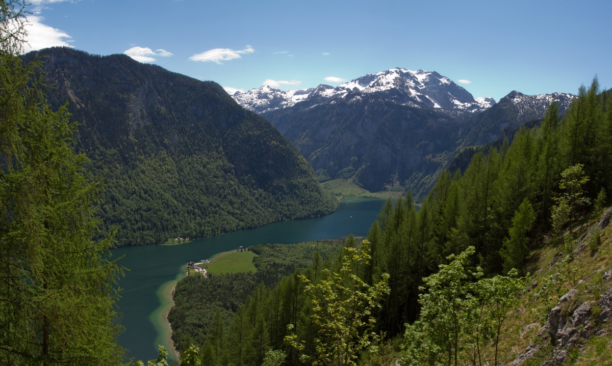
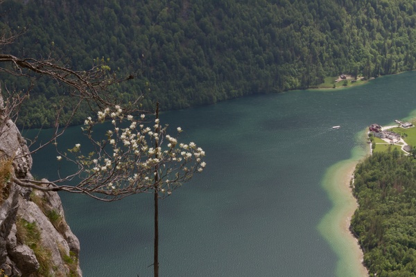
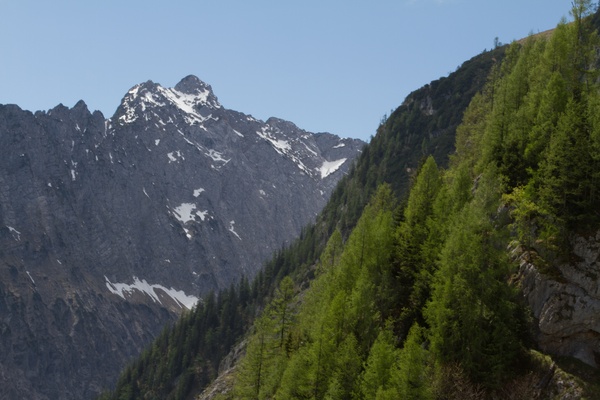
| Gebiet: | Berchtesgadener Alpen |
| Stützpunkte: | Kührointalm (1420 m) |
| Gipfel: | Archenkanzel (1346 m) |
| Höhendifferenz: | Auf-/Abstieg 875hm |
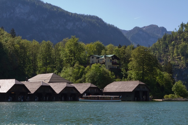
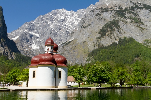
| Talort/Ausgangspunkt: | Königssee, St. Bartholomä |
| Aufstieg: | über Rinnkendlsteig |
| Abstieg: | über Kühroint-Alm und Bob-/Rodelbahn |
| Kartenmaterial: | Alpenvereinskarte Nr. BY21: Nationalpark Berchtesgaden - Watzmann (1:25000) Bayrisches Landesvermessungsamt UK 25-1: Nationalpark Berchtesgaden (1:25000) |
 |
 |
 |
 |
 |
 |
 |
 |
 |
|
 |
 |
 |
 |
 |
 |