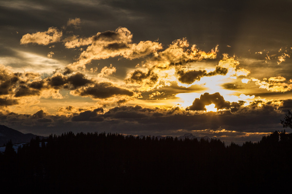
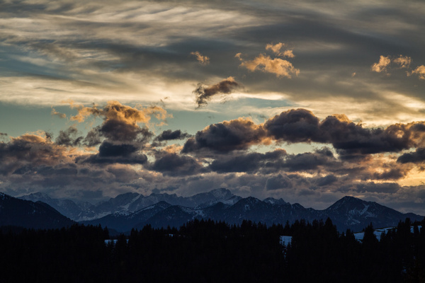
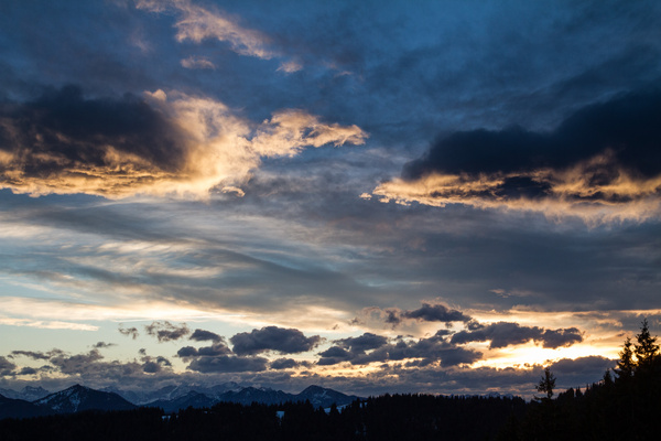
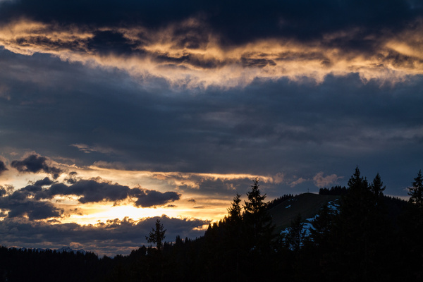
28) Bergtour 04.11.2014
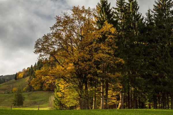
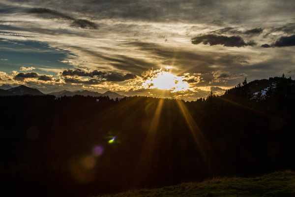
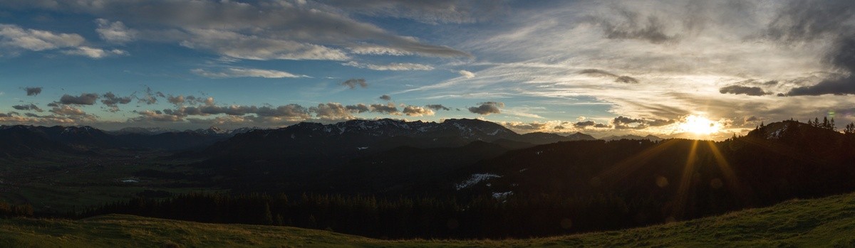
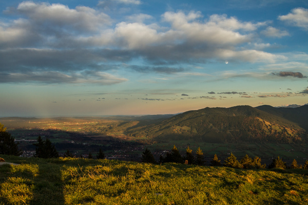
| Gebiet: | Bayrische Voralpen |
| Stützpunkte: | Waldherralm ( 740 m) |
| Gipfel: | Heiglkopf (1205 m) |
| Höhendifferenz: | Auf-/Abstieg 465hm |
| Talort/Ausgangspunkt: | Wackersberg, Waldherralm |
| Aufstieg: | von der Waldherralm über Weg B1 |
| Abstieg: | wie Aufstieg |
| Kartenmaterial: | Alpenvereinskarte Nr. BY11: Isarwinkel - Benediktenwand (1:25000) Kompass Wanderkarte Nr. 182: Isarwinkel (1:50000) |
 |
 |
 |
|
 |
 |
 |
 |
 |
 |