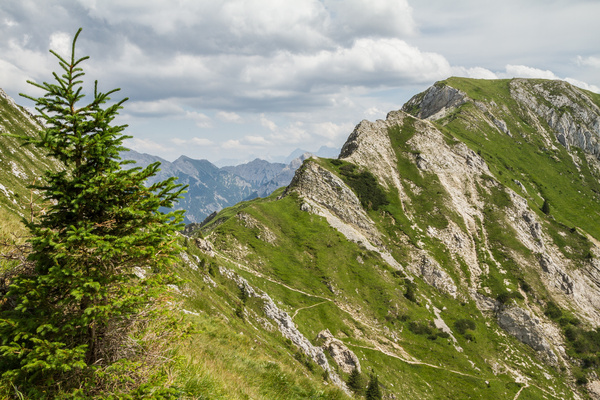
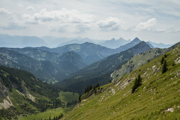
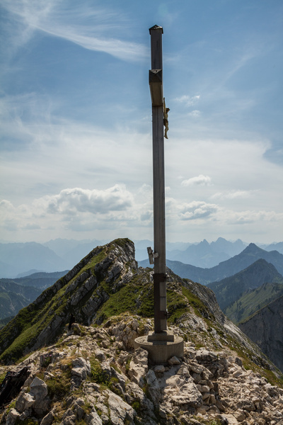
16) Bergtour 12.07.2015
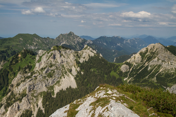
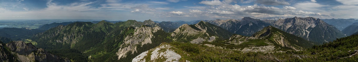
| Gebiet: | Ammergauer Alpen |
| Stützpunkte: | Ammerwald Alm (1104 m) |
| Gipfel: | Hochplatte (2082 m), Hochplatte (Ostgipfel) (2079 m) |
| Höhendifferenz: | Auf-/Abstieg 1010hm |
| Talort/Ausgangspunkt: | Ammerwald |
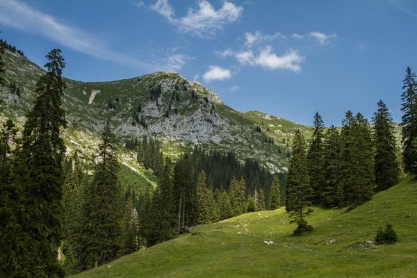
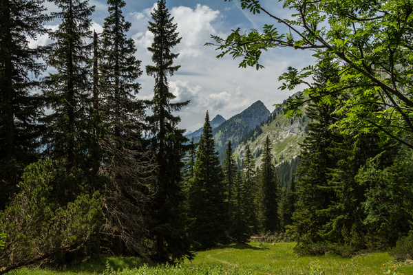
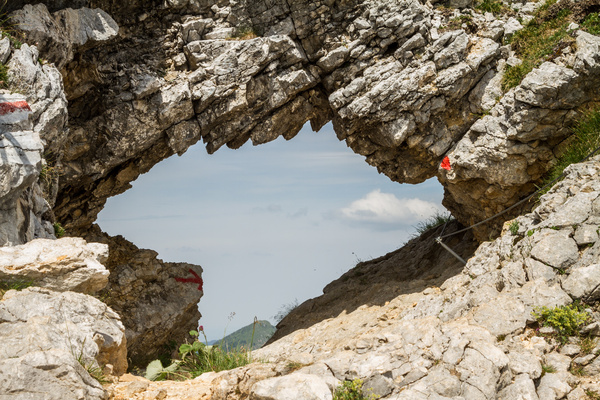
| Aufstieg: | über das Köllebachtal und 'Fensterl' |
| Abstieg: | durch das Roggental |
| Kartenmaterial: | Alpenvereinskarte Nr. BY6: Ammergebirge West - Hochplatte, Kreuzspitze (1:25000) Bayrisches Landesvermessungsamt UK-L 31: Werdenfelser Land (1:50000) |
 |
 |
 |
 |
 |
 |
 |
 |
 |
 |
 |
 |
 |
|
 |
|