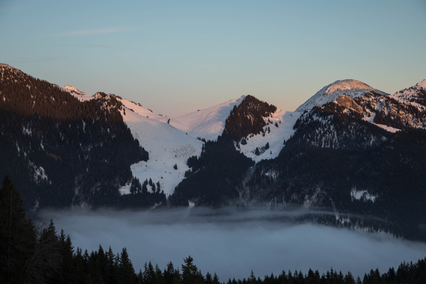
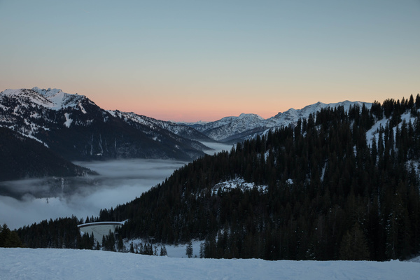
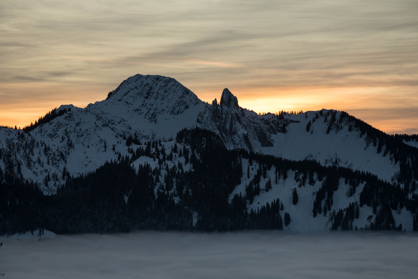
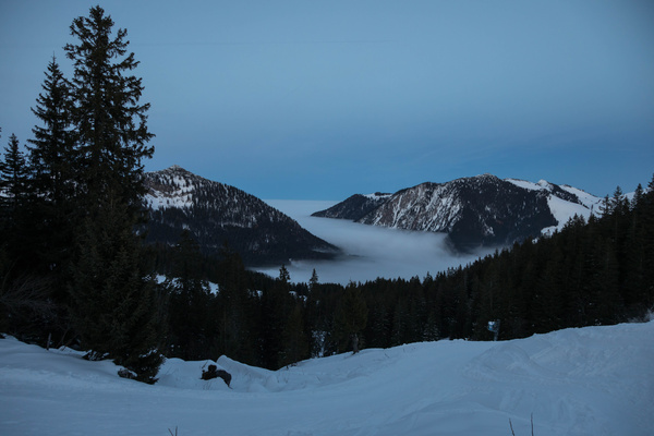
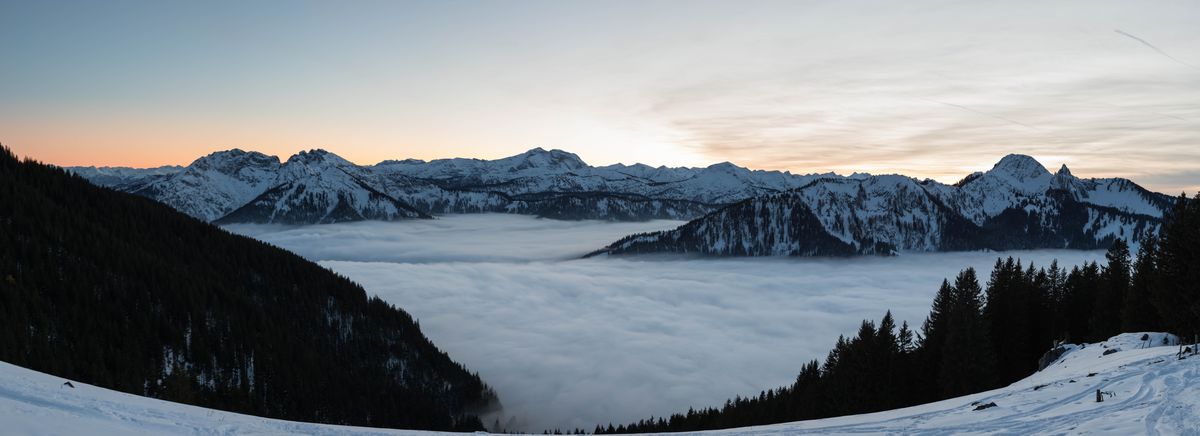
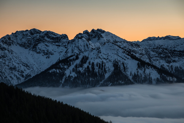
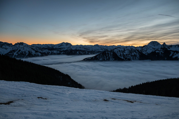
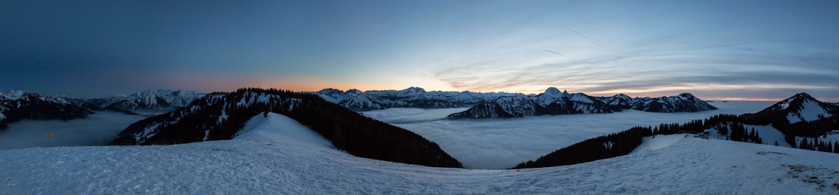
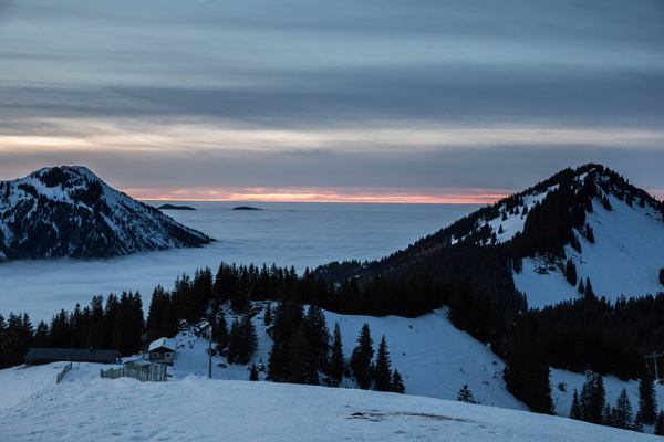
35) Skitour 16.11.2017
| Gebiet: | Bayrische Voralpen (Mangfallgebirge) |
| Stützpunkte: | Osthangalm (1336 m), Jagahütt'n (1484 m), Stümpfling-Alm (1530 m) |
| Gipfel: | Stümpfling (1506 m), Roßkopf (1580 m) |
| Höhendifferenz: | Auf-/Abstieg 515hm |
| Talort/Ausgangspunkt: | Spitzingsee, Talstation Stümpflinglift |
| Aufstieg: | über Skipiste |
| Abstieg: | Wie Aufstieg |
| Kartenmaterial: | Alpenvereinskarte Nr. 7/1: Tegernsee, Schliersee (1:25000) Alpenvereinskarte Nr. BY15: Mangfallgebirge Mitte - Spitzingsee, Rotwand (1:25000) |
 |
 |
 |
 |
 |
|
 |
 |
 |
|
 |
 |