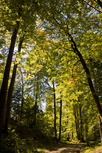
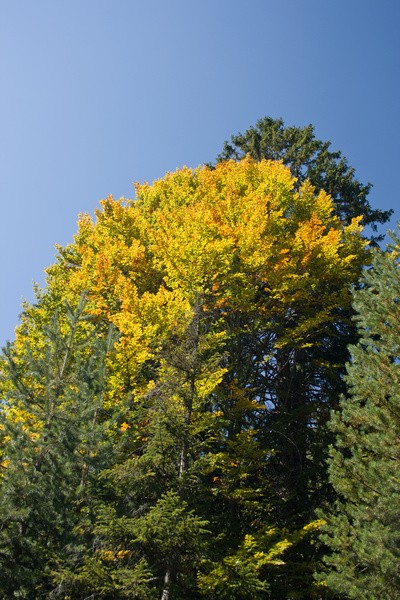
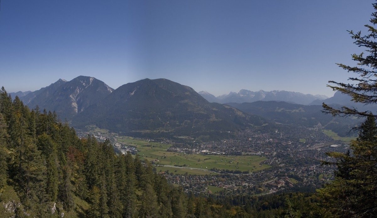
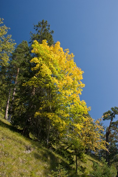
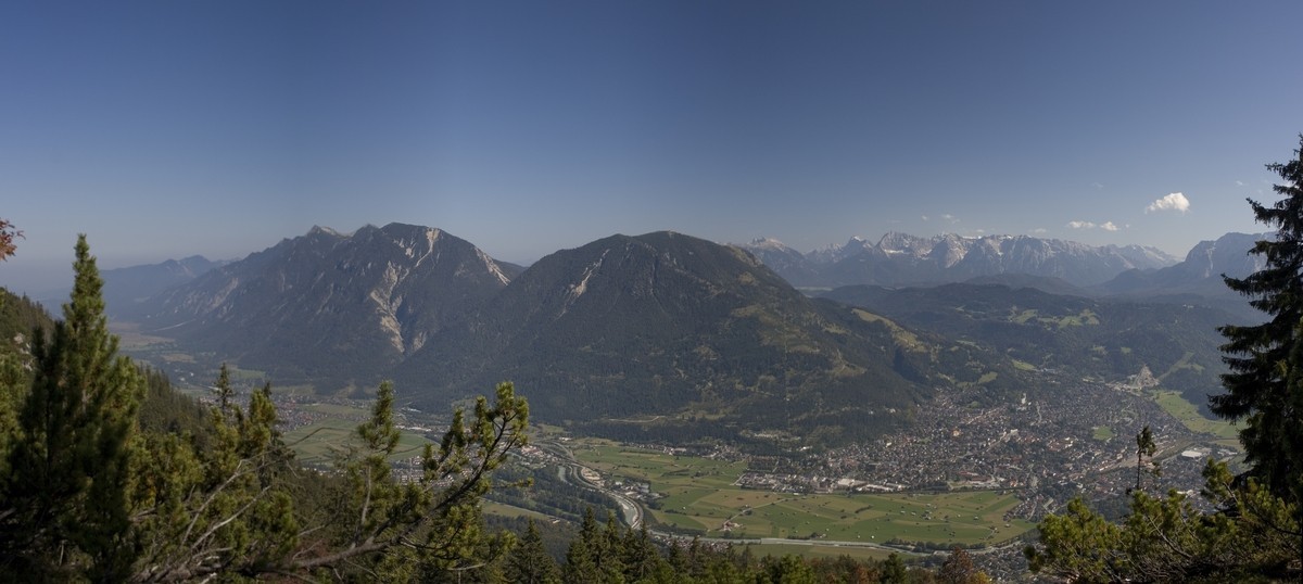
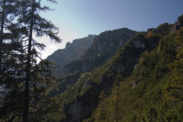
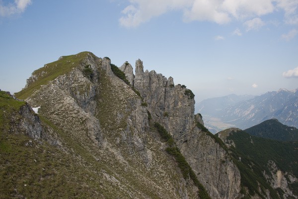
30) Bergtour 16.09.2007
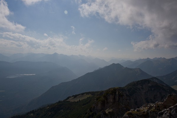
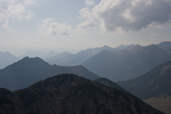
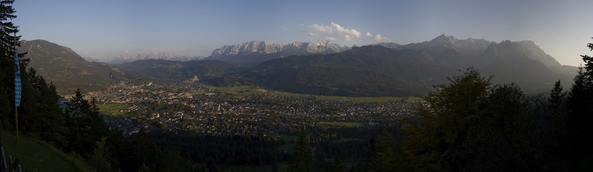
| Gebiet: | Ammergauer Alpen |
| Stützpunkte: | St. Martin (1028 m) |
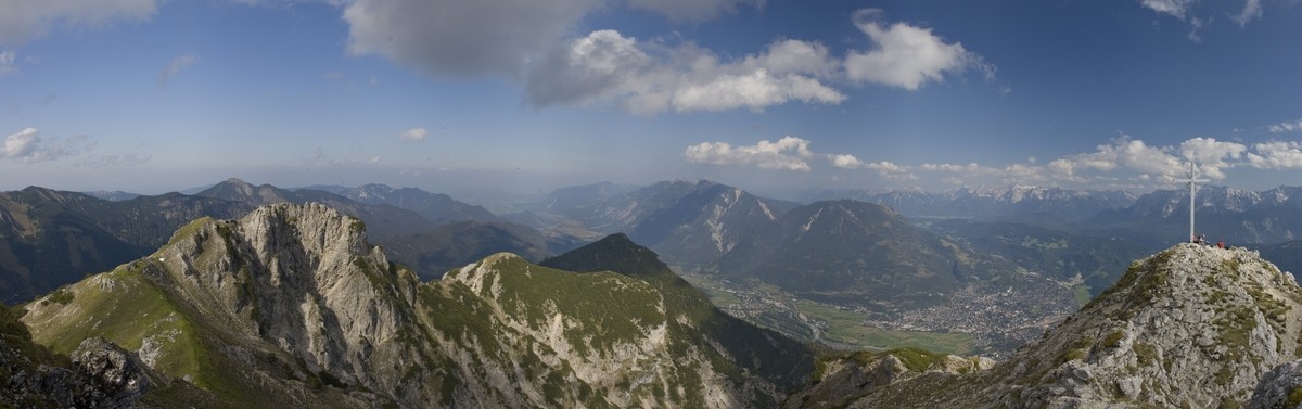
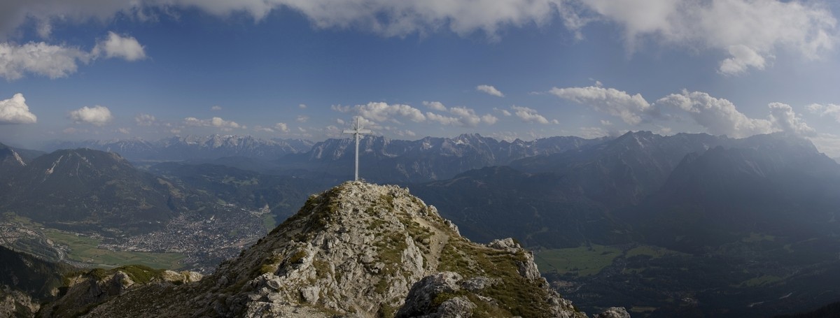
| Gipfel: | Kramerspitz (1985 m) |
| Höhendifferenz: | Auf-/Abstieg 1340hm |
| Talort/Ausgangspunkt: | Garmisch-Partenkirchen |
| Aufstieg: | von Garmisch-Partenkirchen auf Weg 255 über das Gasthaus 'St. Martin' |
| Abstieg: | wie Aufstieg |
| Kartenmaterial: | Alpenvereinskarte Nr. BY7: Ammergebirge Ost - Pürschling, Hörnle (1:25000) Bayrisches Landesvermessungsamt UK-L 31: Werdenfelser Land (1:50000) |
 |
 |
 |
|
 |
 |
 |
|
 |
 |
 |
|
 |
 |
 |
|
 |
 |
 |
|