37) Bergtour 02.08.2011
| Gebiet: | Bayrische Voralpen (Mangfallgebirge) |
| Stützpunkte: | Bodenalm (1350 m) |
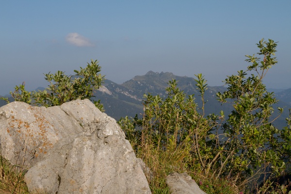
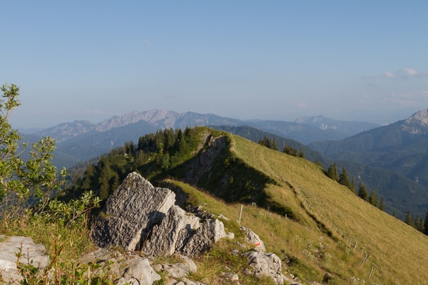
| Gipfel: | Bodenschneid (1668 m) |
| Höhendifferenz: | Auf-/Abstieg 715hm |
| Talort/Ausgangspunkt: | Enterrottach, Parkplatz Hufnagelstube an der Mautstraße |
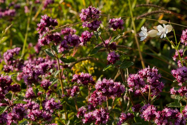
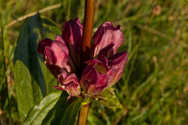
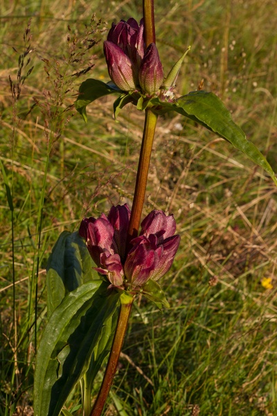
| Aufstieg: | Weg am Osterberggraben und Bodenalm |
| Abstieg: | wie Aufstieg |
| Kartenmaterial: | Alpenvereinskarte Nr. BY15: Mangfallgebirge Mitte - Spitzingsee, Rotwand (1:25000) Alpenvereinskarte Nr. 7/1: Tegernsee, Schliersee (1:25000) |
 |
 |
 |
 |
 |
 |
 |
 |
 |