18) Bergtour 22.05.2014
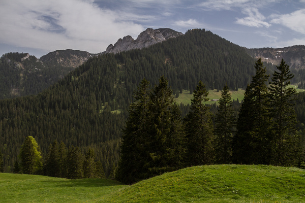
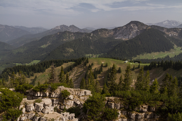
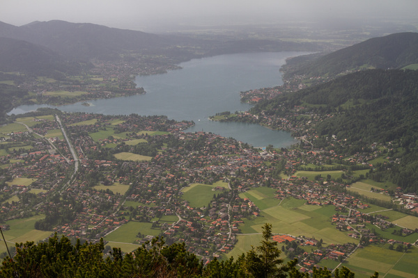
| Gebiet: | Bayrische Voralpen (Mangfallgebirge) |
| Stützpunkte: | Rottachalm (1220 m), Portnersalm (1405 m), Wallbergbahn Bergstation (1623 m), Hintermaueralm ( 16 m), Wallberghaus (1507 m), Röthensteinalm (1385 m) |
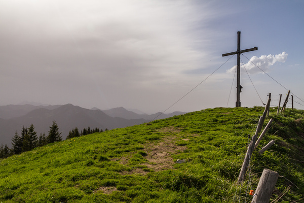
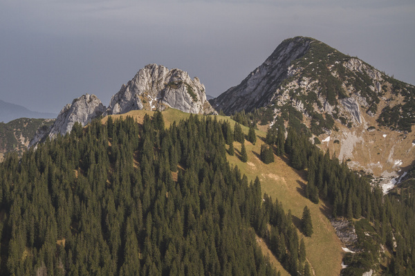
| Gipfel: | Wallberg (1723 m), Setzberg (1706 m) |
| Höhendifferenz: | Auf-/Abstieg 980hm |
| Talort/Ausgangspunkt: | Enterrottach, Parkplatz Hufnagelstube an der Mautstraße |
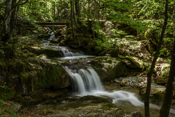
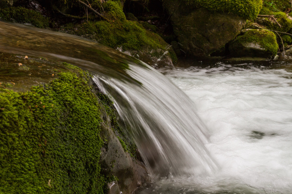
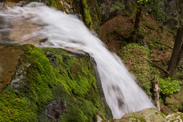
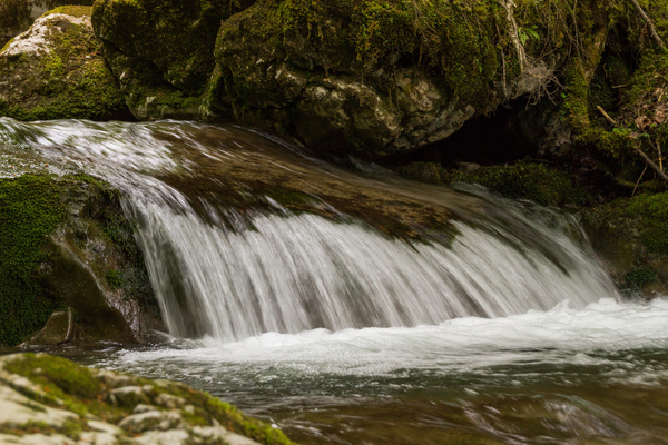
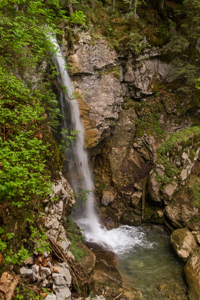
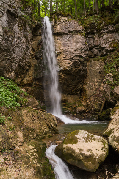
| Aufstieg: | über Sieble-Wasserfall und Rottachalm (Weg 617/617b) |
| Abstieg: | weglos zur Röthensteinalm, dann Weg 617/617b |
| Kartenmaterial: | Alpenvereinskarte Nr. BY15: Mangfallgebirge Mitte - Spitzingsee, Rotwand (1:25000) Alpenvereinskarte Nr. 7/1: Tegernsee, Schliersee (1:25000) |
 |
 |
 |
 |
 |
 |
 |
 |
 |
 |
 |
 |
 |